GIS (Geographic information system) Grave Map
In the Spring of 2014, Warren Wilson College environmental studies graduate Linden Blaisus (class of 2011) and members of the Warren Wilson College GIS crew digitized a comprehensive grave mapping effort conducted by the College's archeology crew. The Warren Wilson College archeology crew gathered these data with the help of volunteers and AmeriCorps teams over the 1990s and early 2000s. The original archeological map (as a pdf file) and the newly geo-referenced Google Earth file (as a KML file) are both available here for download.
Download Complete Grave Map .KML
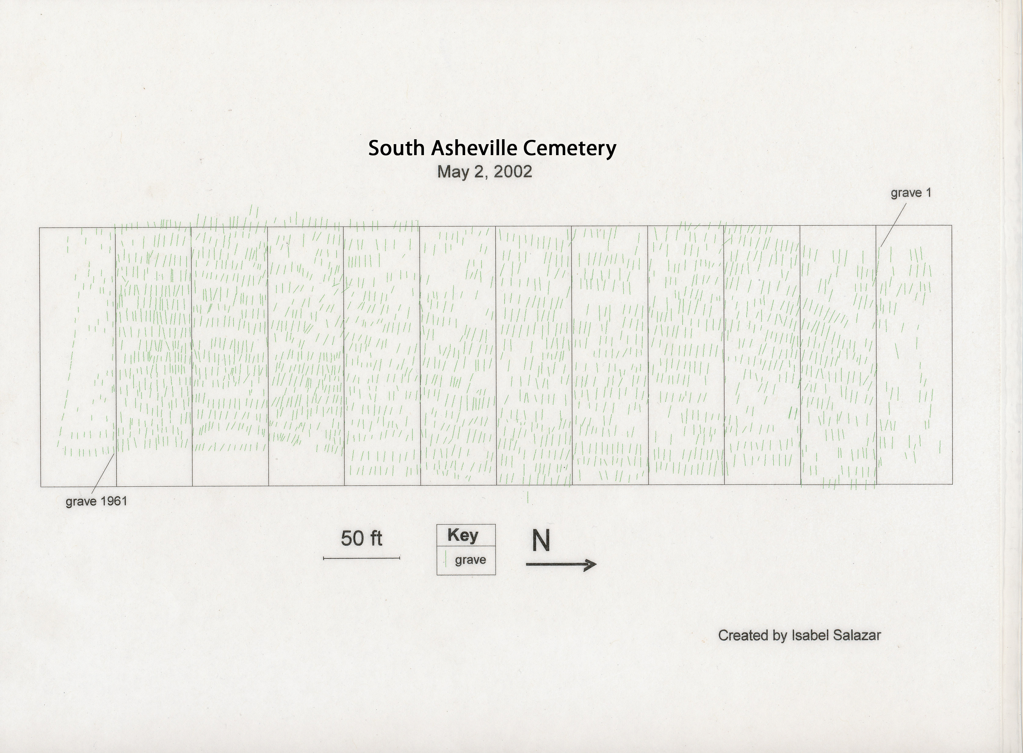
Download Original Archeology Crew Grave Soundings Map .PDF
Note: you will need Google Earth to view .KML files. Download Google Earth
Map Data Key
Key for headstones (HS) & footstones (FS)
f: fieldstone
m: marble (presumed)
c: concrete
w: wood
me: metal
g: granite
x: No headstone or footstone present